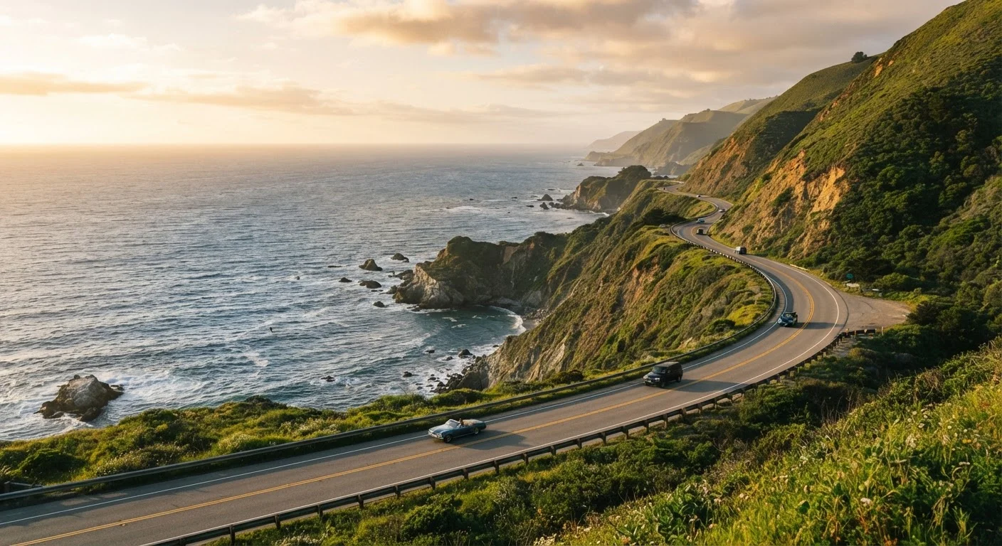
Why the PCH Trips People Picture Rarely Match What Happens
The Pacific Coast Highway inspires some of the most enthusiastic travel planning in the country - and some of the most preventable disappointment. The gap between a dreamy Instagram reel and the actual experience of driving California's coastal routes comes down to a handful of consistent planning failures, not bad luck.
Most travelers approach the PCH with roughly the right spirit but the wrong assumptions: that it's fast, flexible, and easy to improvise. In reality, it's a narrow, often congested, weather-dependent route through some of the most geographically isolated terrain on the West Coast. Getting the planning right - before you leave - is what separates a memorable trip from an exhausting one. The anatomy of a well-planned road trip applies here more than almost anywhere else.
Common Mistakes That Derail PCH Road Trips
These are the errors travel planners and experienced coastal drivers see repeatedly. Understanding why each one happens - and what to do instead - is the core of realistic PCH preparation.
Estimating drive times based on mileage alone, ignoring the PCH's actual pace.
Why it happens: Navigation apps often route drivers on inland highways and don't reflect the stop-and-go nature of coastal driving, scenic pullouts, or the sheer number of other travelers on the road.
Waiting until the last minute to book accommodations in Big Sur and other remote stretches.
Why it happens: Travelers assume flexibility is possible on a drive-as-you-go trip, not realizing that lodging options in Big Sur number in the single digits and fill months in advance during peak season.
Failing to check for current highway closures before departure or en route.
Why it happens: Most travelers assume a major highway is open unless they've heard otherwise. Highway 1 through Big Sur has a documented history of landslide-related closures that can last weeks or months.
Scheduling every day completely full, with no margin for weather delays or spontaneous stops.
Why it happens: Planners naturally want to maximize a trip, and the PCH has so many compelling stops that over-scheduling feels justified - until fog rolls in at 9 a.m. or an unexpected viewpoint adds an unplanned hour.
Ignoring the coastal fog patterns that obscure views for much of the morning.
Why it happens: Promotional photos of the PCH almost always show blue skies and clear water. Travelers don't realize that marine layer fog is a structural feature of the California coast, especially in summer, and can persist until midday.
Skipping the state park reservation system and arriving to find campgrounds or sites already claimed.
Why it happens: Many travelers are accustomed to first-come, first-served camping and don't realize California's reservation-based parks require advance booking through the state's online system.
Highway 1 Closures Are More Common Than You'd Think
The Big Sur segment of Highway 1 is one of the most geologically active road corridors in the United States. Landslides, erosion, and storm damage have closed sections for weeks or months at a time with little advance warning. Before finalizing any PCH itinerary that includes Big Sur, verify current conditions through Caltrans and identify an inland alternate route via US-101 as a contingency.
What Smart PCH Planning Actually Looks Like
The travelers who come away from the Pacific Coast Highway with the fewest regrets tend to share a few habits. They build their itinerary around the route's natural stopping points - Carmel-by-the-Sea, Big Sur, Morro Bay, San Luis Obispo, Santa Barbara - rather than arbitrary mileage targets. They book lodging the moment their travel dates are set, especially in Big Sur where options are genuinely scarce. And they leave at least one unscheduled day per four days of travel to absorb the unexpected.
~656 mi
Total length of California's Highway 1
According to California Department of Transportation records, Highway 1 spans approximately 656 miles along the California coast, making it one of the longest state scenic highways in the US.
30+ days
Duration of some Big Sur Highway 1 closures
Caltrans records show that landslide and storm-related closures on the Big Sur segment of Highway 1 have historically lasted from several weeks to over a year in significant events.
6+ months
Advance booking window for Big Sur lodging
Travel planning resources and hospitality operators in the Big Sur region consistently recommend booking lodging at least six months ahead during summer and holiday travel periods.
Before leaving, they also verify road conditions through Caltrans (California Department of Transportation), which maintains current closure information for Highway 1. Landslide repairs and seasonal closures are more common on this route than on any comparable US highway. For a thorough pre-departure process, see our guide to preparing your car for a long road trip - the PCH's remote stretches make mechanical readiness especially important.
If this is your first time building a multi-stop itinerary, the itinerary planning walkthrough offers a practical framework for sequencing days without overloading any single leg. And for the category of planning mistakes that rarely make the headline lists - expired passes, lottery reservation windows, seasonal facility closures - these overlooked logistics are worth reviewing before you finalize anything.
The PCH rewards patience, flexibility, and realism. Plan for the road as it is, not as you hope it will be, and it consistently delivers.
This article provides general travel information only. Road conditions, park reservation systems, and regional closures change frequently - always verify current conditions with official sources such as Caltrans and the California State Parks reservation system before traveling.